
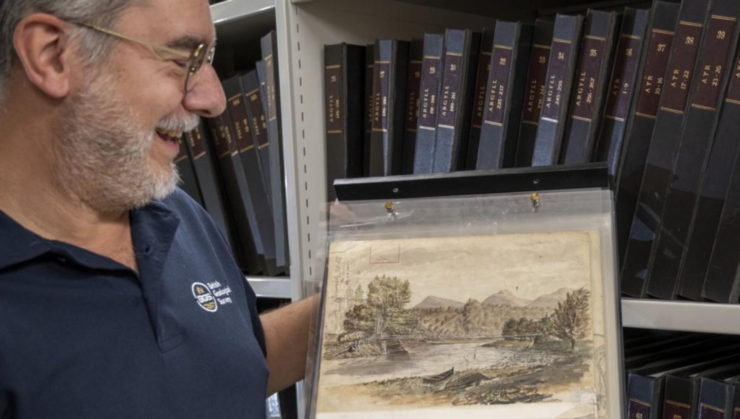

A watercolour of a Scottish Borders bridge that sat unnoticed in an archive for more than 150 years has turned up on the back of a geological map. The painting shows the Dryburgh Suspension Bridge and is thought to be the work of the Victorian geologist Benjamin Peach, who was carrying out fieldwork in the area in the 1870s.
The find was made by Luis Albornoz-Parra of the British Geological Survey (BGS), who was researching the building stones of Dryburgh Abbey for Historic Environment Scotland. He was working through old field slips, the original maps on which geologists record what they see while surveying the rocks of an area, at The Lyell Centre in Edinburgh. Albornoz-Parra said he was charmed by the quality of the painting and imagined Peach producing it during a lunch break from mapping. The abbey is currently being restored.
The bridge in the picture is believed to be the third built on the site. A first crossing went up in 1817 to replace a ferry but was blown down in a gale a year later. Its replacement collapsed in a storm in 1838. The current bridge was finished in 1872, and BGS believes Peach painted it the following year, only a year after it opened. The survey described the work as a “unique record of the Victorian landscape” around Dryburgh.
Daniel Burgess, geological data steward at BGS, said geologists often spent weeks at a time in the field and regularly sketched the landscapes shaped by the rocks beneath them. In this case, he said, Peach was showing how the hard volcanic rocks of the Eildon Hills dominate the countryside around Dryburgh. Burgess said the archive occasionally produces a “welcome surprise” and that staff recognised the painting as Peach’s almost straight away.
Peach worked for BGS from 1862 until he retired in 1905 and made hundreds of sketches and paintings during his surveys. He is best known in geology for helping to settle the Highlands Controversy, a 19th-century dispute over how older layers of rock came to sit on top of younger ones. Fieldwork by Peach and his colleagues showed that large thrust faults had moved the rock into place. The field map is now held in the BGS archive with about 40,000 other items, including administrative records and staff papers.